Educational Visit
"From Ideas to Orbit: Unveiling Space Technology at ISRO Hyderabad"
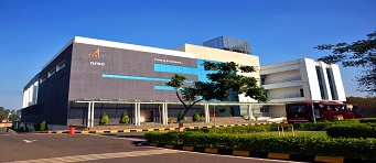
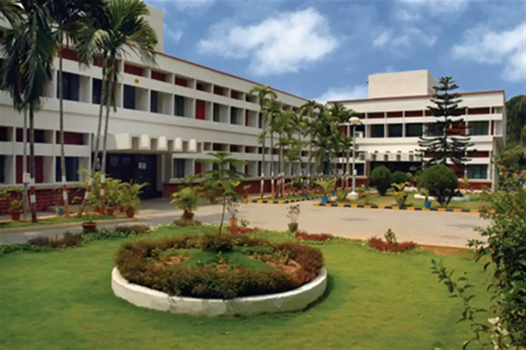
National Remote Sensing Centre (NRSC), Hyderabad
- National Remote Sensing Centre (NRSC) at Hyderabad is responsible for remote sensing satellite data acquisition and processing, data dissemination, aerial remote sensing and decision support for disaster management. NRSC has a data reception station at Shadnagar near Hyderabad for acquiring data from Indian remote sensing satellites as well as others.
- NRSC is also engaged in executing remote sensing application projects in collaboration with the users. The Aerial Services and Digital Mapping (ASDM) Area provides end-to-end Aerial Remote Sensing services and value-added solutions for various large scale applications like aerial photography and digital mapping, infrastructure planning, scanner surveys, aeromagnetic surveys, large scale base map, topographic and cadastral level mapping, etc.